$149.00 Original price was: $149.00.$28.00Current price is: $28.00.
[Instant Download] – Immediately deliver the download link after receiving the payment
 Purchase this course you will earn 28 Points worth of $2.80
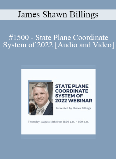
Elevate your skills with the James Shawn Billings – #1500 – State Plane Coordinate System of 2022 course, available for just $149.00 Original price was: $149.00.$28.00Current price is: $28.00. on Utralist.com! Browse our curated selection of over 60,000 downloadable digital courses across diverse Personal Development. Benefit from expert-led, self-paced instruction and save over 80%. Start learning smarter today!
[Instant Download] – Immediately deliver the download link after receiving the payment
Purchase James Shawn Billings – #1500 – State Plane Coordinate System of 2022 courses at here with PRICE $149 $28
- Faculty:
- James Shawn Billings
- Duration:
- 01:53
- Format:
- Audio and Video
Description
Projections allow geospatial professionals to utilize a “useful fiction” that the round Earth is flat. Such fictions permit the use of cartesian coordinates in computer-aided drafting and design (CADD) software and in field data collectors, as well as the use of plane trigonometry and plane geometry to evaluate measurement data gathered in cadastral surveys. Projecting coordinates from a round Earth onto a flat plane has overhead, particularly in the form of distortion: distortion in distances, angles, directions and areas. With careful design of the projection these distortions can be managed.
With the computing power and massive quantities of Earth data available to geodesists today, notably compared to the mid 1980’s when the SPCS83 was designed, these distortions can be mitigated and reduced so as to be considered negligible for most surveying applications.
* Earn two (2) hours of CEU's.
Handouts
| State Plane Coordinate of 2022 (2.7 MB) | 43 Pages | Available after Purchase |
Purchase James Shawn Billings – #1500 – State Plane Coordinate System of 2022 courses at here with PRICE $149 $28
Cultivate continuous growth with the James Shawn Billings – #1500 – State Plane Coordinate System of 2022 course at Utralist.com! Unlock lifetime access to premium digital content, meticulously designed for both career advancement and personal enrichment.
- Lifetime Access: Enjoy limitless access to your purchased courses.
- Exceptional Value: Benefit from savings up to 80% on high-quality courses.
- Secure Transactions: Your payments are always safe and protected.
- Practical Application: Gain real-world skills applicable to your goals.
- Instant Accessibility: Begin your learning journey immediately after buying.
- Device Compatible: Access your courses seamlessly on any device.
Transform your potential with Utralist.com!
Related products
Personal Development
Watch What You’re Saying! How to Powerfully Understand Non-verbal Communication – Dot Bekker
= 29 Points
Personal Development
= 35 Points
Personal Development
Rhode Island Mental Health & The Law – 2020 – Robert Landau & Frederic Reamer
= 83 Points
Personal Development
= 21 Points
Personal Development
= 43 Points
Personal Development
= 62 Points
Personal Development
= 25 Points
Personal Development
= 43 Points


